


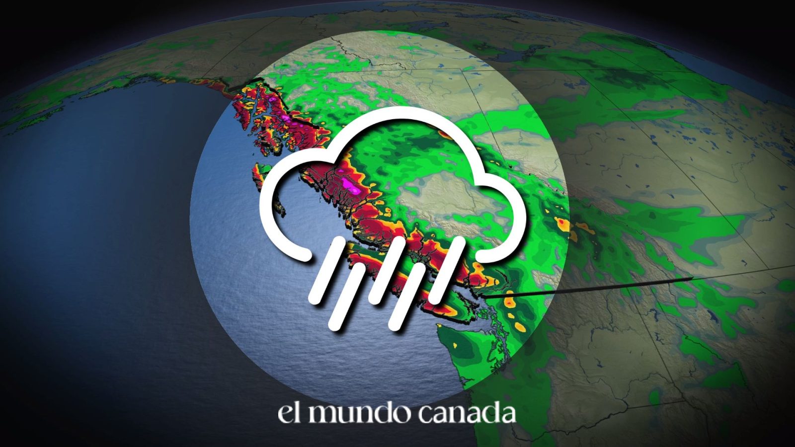
The strongest storm of September 2026 is barreling toward British Columbia, bringing gusty winds and locally heavy rain that could cause minor power outages and significantly slow commutes across the region. An atmospheric river carrying moisture directly from southeast Asia will sweep toward the B.C. coast starting Monday, delivering what forecasters describe as a much-needed precipitation event after a relatively dry September throughout the province.
This powerful weather system represents the final opportunity to salvage any hope of achieving normal precipitation levels for the month. For residents across Metro Vancouver, Vancouver Island, and the Central Coast, preparation is essential as this BC storm approaches with potentially disruptive conditions.
“This atmospheric river system is expected to bring significant rainfall to coastal British Columbia, with peak intensity occurring Monday night into Tuesday morning. Residents should prepare for potential localized flooding and minor power outages in exposed areas.”
Atmospheric River Classification and Intensity
The incoming atmospheric river has been classified as an AR-2 for the Central Coast and western Vancouver Island, while most other areas can expect an AR-1 rating. These classifications, ranging from AR-1 to AR-5, measure the intensity and duration of water vapour transport to estimate potential impacts on affected communities.
An AR-2 classification typically brings mostly beneficial rains with a risk for localized flooding in vulnerable areas. This means residents in flood-prone neighborhoods should take precautions, while the precipitation will help replenish water reserves depleted during the dry September conditions.
For the Latin community in British Columbia, understanding these weather patterns is crucial for planning work commutes, outdoor activities, and ensuring family safety during severe weather events.
Monday Weather Timeline and Conditions
Monday morning will feature heavy rain for the North and Central Coasts, with showers gradually spreading across northern Vancouver Island. As the day progresses, heavy rain will extend to western Vancouver Island by Monday evening as a weak surface low develops off the northwestern tip of the island.
The BC storm will reach peak intensity on Monday night, with rainfall rates up to 10 mm per hour possible on western Vancouver Island. These intense precipitation rates can quickly overwhelm drainage systems and create hazardous driving conditions on coastal highways.
Residents should prepare for reduced visibility, standing water on roads, and potential debris from wind-damaged trees. Those with early Tuesday commutes should plan for significant delays.
Tuesday Impact on Lower Mainland Commuters
The heaviest rainfall will spread over the Lower Mainland during early Tuesday morning, significantly impacting the morning commute. Workers across Metro Vancouver should anticipate major delays on highways and public transit as the frontal system moves through the region.
The strongest winds are expected through pre-dawn Tuesday, with minor power outages possible in exposed areas. BC Hydro customers should ensure emergency supplies are accessible, including flashlights, charged devices, and battery-powered radios.
Read more: VIA Rail Cuts: Guildwood, Malton Lose Service
Showers will linger into Tuesday afternoon as the frontal system slides south of the international border. Conditions should gradually improve throughout the day, though wet roads may remain hazardous into the evening hours.
Expected Rainfall Totals by Region
Rainfall totals will vary widely depending on proximity to mountain ranges and geographic positioning. Here is what different areas can expect from this BC storm:
- Metro Vancouver: 20-40+ mm of rain expected across most areas
- Near mountains: 40-60 mm likely in communities close to mountain slopes
- Western Vancouver Island and Central Coast: Localized totals of 50-100+ mm possible
- Eastern Vancouver Island (rain shadow): Only 5-10 mm of accumulation expected
These significant variations highlight the importance of checking local forecasts for your specific community rather than relying on regional predictions. The rain shadow effect created by Vancouver Island’s mountains dramatically reduces precipitation on the eastern side of the island.
Preparation and Safety Tips for Residents
With minor power outages possible and hazardous driving conditions expected, residents should take several precautions before the BC storm arrives. Charge electronic devices fully on Sunday evening and ensure emergency kits are accessible.
For those who must travel on Monday or Tuesday, reducing speed and increasing following distances is essential. Hydroplaning becomes a significant risk when rainfall rates exceed 10 mm per hour, as the source indicates is possible during this event.
Homeowners should clear storm drains near their properties and secure any outdoor furniture or objects that could become wind-borne projectiles. Those in flood-prone areas should monitor local creek levels and be prepared to move vehicles and valuables to higher ground if necessary.
This September storm also provides an excellent opportunity for families to discuss emergency preparedness and ensure everyone knows what to do during power outages or flooding situations.
How much rain will Metro Vancouver receive from this storm?
Metro Vancouver is expected to receive 20-40+ mm of rain, with areas near the mountains likely to see 40-60 mm. The heaviest rain will arrive early Tuesday morning.
Will there be power outages during the BC storm?
Minor power outages are possible, particularly through pre-dawn Tuesday when the strongest winds are expected. Residents should prepare emergency supplies including flashlights and charged devices.
What is an atmospheric river AR-2 classification?
An AR-2 atmospheric river brings mostly beneficial rains with a risk for localized flooding. Classifications range from AR-1 to AR-5 and measure the intensity and duration of water vapour transport.
When will the BC storm have the most impact on commuters?
The heaviest rainfall will spread over the Lower Mainland during early Tuesday morning, significantly slowing the morning commute. Showers will linger into Tuesday afternoon.
📘 Follow El Mundo Canada on our social networks: Facebook | Twitter | Instagram
The frontal system is expected to slide south of the international border by Tuesday afternoon, bringing gradual improvement to conditions across British Columbia. Residents should continue monitoring local weather updates throughout Monday, September 28 and Tuesday, September 29 as this powerful storm system moves through the region.
