


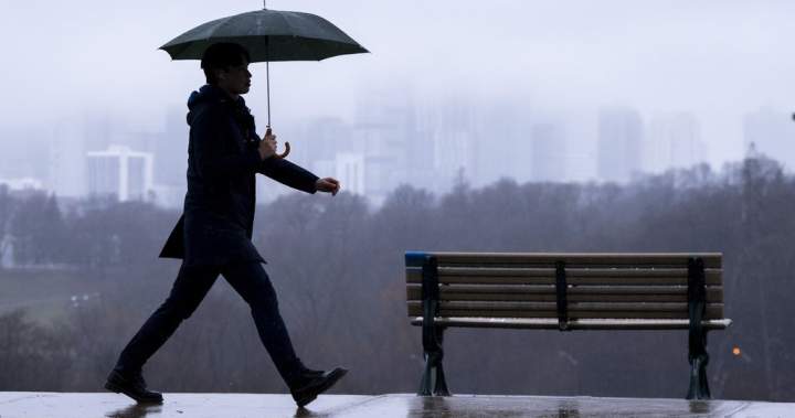
Residents across Toronto and much of southern Ontario are urged to stay alert as a powerful storm system sweeps through the region on July 21, 2026. Environment Canada has activated a yellow severe thunderstorm watch, warning of potentially dangerous weather conditions that could persist throughout the day and into the evening hours.
What Environment Canada Is Warning About
The federal weather agency has issued a comprehensive warning indicating that the Greater Toronto Area and surrounding regions face a combination of severe weather threats. According to the official alert, residents should prepare for heavy rainfall, with some areas potentially receiving more than 50 millimeters of precipitation, particularly those locations hit by multiple thunderstorms throughout the day.
“Local rainfall amounts in excess of 50 mm may occur for areas that receive multiple thunderstorms. The greatest likelihood for damaging wind gusts is expected to be over southwestern Ontario. A few instances of large hail are possible,” Environment Canada stated in its weather bulletin.
The storm system brings with it the threat of damaging wind gusts ranging from 90 to 110 kilometers per hour, powerful enough to cause significant disruptions across the region. Additionally, forecasters are warning about the possibility of large hail, with pieces potentially ranging from the size of a quarter to that of a ping pong ball, posing risks to vehicles, property, and anyone caught outdoors.
Potential Impacts and Safety Concerns
The severe weather event could bring a variety of problems for residents and infrastructure throughout southern Ontario. Environment Canada has outlined several potential consequences that people should be prepared for:
- Local utility outages affecting electricity and other services
- Damage to roofs from high winds and hail
- Broken tree branches and downed limbs
- Damaged fences and outdoor structures
- Destruction of soft shelters, tents, and temporary outdoor setups
- Hazardous driving conditions due to reduced visibility and wet roads
The Toronto Region and Conservation Authority has also raised significant concerns about flooding risks across their watershed areas. In a notice posted on their website on July 21, 2026, the TRCA emphasized that water levels in rivers and streams could rise rapidly and unpredictably as the storm progresses through the area.
Flood Risk Elevated Due to Saturated Ground
Making matters more concerning, the TRCA reported that watersheds in their jurisdiction had already received between five and ten millimeters of rainfall during the morning hours before the main storm system arrived. This preliminary precipitation means the ground is already partially saturated, significantly reducing its capacity to absorb additional rainfall from the incoming thunderstorms.
“All shorelines, rivers, and streams in TRCA jurisdiction should be considered dangerous as this rainfall may cause rapidly changing water levels and stronger and faster flows in TRCA rivers,” the conservation authority warned in its public advisory.
The combination of heavy rainfall and limited ground absorption creates ideal conditions for flash flooding, particularly in low-lying areas and near waterways. Residents living close to rivers, streams, or flood-prone zones should remain especially vigilant and be prepared to move to higher ground if necessary.
Safety Recommendations for Residents
Authorities are urging Toronto and southern Ontario residents to take several precautionary measures to protect themselves and their property during this severe weather event:
- Stay indoors during the height of the storm if possible
- Avoid areas near rivers, streams, and shorelines where water levels may rise suddenly
- Secure or bring inside any loose outdoor items that could become projectiles in high winds
- Keep mobile devices charged in case of power outages
- Have flashlights and emergency supplies readily accessible
- Monitor Environment Canada alerts and local news for weather updates
- Avoid driving through flooded roadways, as water depth can be deceiving
Environment Canada has indicated that the storm system is expected to continue affecting the region into the evening hours of July 21, 2026. Residents should plan accordingly and avoid unnecessary travel during peak storm activity. Those who must venture outdoors are advised to exercise extreme caution, particularly when near trees, power lines, and bodies of water.
The weather agency continues to monitor the situation closely and will provide updates as conditions evolve. Residents can access the latest information through Environment Canada’s website and weather alert systems to stay informed about any changes to the forecast or additional warnings that may be issued as the storm progresses through southern Ontario.
